Helmholtz Coastal Data Center (HCDC)
Coastal research generates data and information of the coastal zone and its fascinating environment. HCDC offers a digital infrastructure to capture, process, archive and disseminate observation and model data, as well as for communicating research results of scientists.
The Helmholtz Coastal Data Center (HCDC) merges heterogeneous data of coastal and ocean observatories, ship campaigns, and numerical models pertinent to coastal zones. The data will be accessible for scientists and the public, and will seamlessly feed into national and international Earth System data networks.
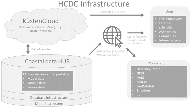
Graphic: Hereon
The HCDC infrastructure is a comprehensive data and information structure that complies with general standards. We cooperate and conceputalize workflows with other existing data centres and data structures of the Helmholtz Association, the German Alliance for Marine Research (DAM) and the NFDI4Earth consortium in the national research data infrastructure. In cooperation with AWI’s O2A and GEOMAR’s OSIS data centres HCDC creates the MareHub. The MareHub forms in conjunction with the AtmoHub and TerraHub the data infrastructure of the Helmholtz Association's research area Earth and Environment.
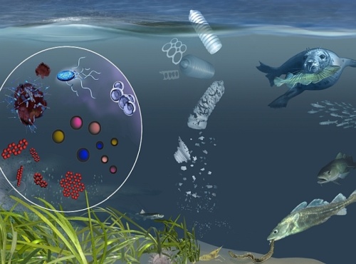
Here you find scientifically sound information products of various research foci. They explain important scientific topics, like for example emerging contaminants, and support government, administration and business in their efforts to adapt to climate change. Information
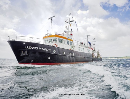
The Helmholtz Coastal Data Center provides access to research data, maps and products of the research area Earth and Environment at Helmholtz-Zentrum Hereon. Besides portals for the download of data, you can find services and digital maps to directly access the research data.
Data
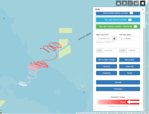
A series of tools let the user explore data, plan campaigns and discover characteristics of the North Sea. All tools are interactive.
Tools
