Data
Data is the basis for research and resulting knowledge. The Helmholtz-Zentrum Hereon collects, calculates and prepares data of various kinds both for its own research work and in terms of knowledge transfer for transfer to third parties. These include physical, chemical and biological parameters such as e.g. temperature, salinity, waves, water levels, current, wind, nutrients and pollutants, pH, chlorophyll and algae. The data results from real-time in-situ measurements, automated measurement systems, collections, complex datasets and model calculations.
Three portals each with a specific orientation grant users and interested parties access to this data:
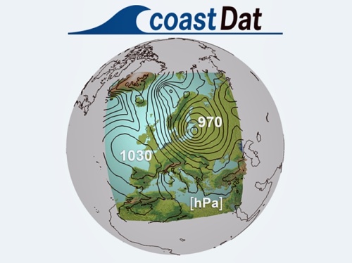
coastDat is based on the use of near-realistic numerical model systems to describe the meteo-marine environment in regions with sparse data. Using a series of numerical models, long-term, consistent, and homogeneous, high-resolution spatial and temporal data has been generated to reconstruct marine climate aspects (storms, waves, etc.) over many decades in the past and in the future.
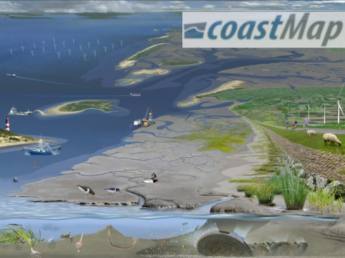
coastMap is a marine geoportal that combines analysis and model data of the seabed, the overlying water column in the North Sea and the atmosphere. It focuses on data from measurement campaigns, model analyzes and thematic maps from biogeochemistry, which can be selected and visualized by the user. In addition, the portal offers generally understandable scientific topics in the field of biogeochemistry.
POPE (Persistent Organic Pollutants Emission model) is a tool that gathers global and regional inventories for PFOA and PFOS, two types of pollutants. It combines data from different sources, including airport, population, GDP datasets, local measurements, and factory data to estimate emissions. The model considers airport firefighting, fluropolymer production, and diffuse emissions from products containing PFOA and PFOS. It separately accounts for emissions to both air and water. The inventory spans from 1950 to 2020 and is presented on a yearly basis with a global, gridded resolution of 0.5° x 0.5°. POPE aids in transport modeling and studying the impact of these pollutants on the environment.