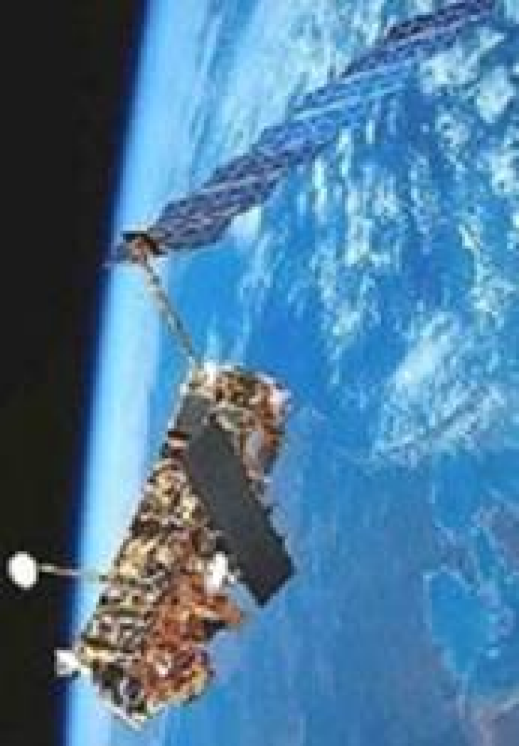
ERS-2. Graphics: ESA
Data of different remote sensing instruments are investigated.
AVHRR "Advanced Very High Resolution Radiometer" is a multispectral, satellite based remote sensing sensor of the National Oceanic and Atmospheric Administration (NOAA). It is used to determine e.g. the water temperature at the surface of the ocean.
SAR Synthetic Aperture Radar is a radar that creates images of an object, e.g. the ocean surface. The sensor ist used for remote sensing from aircraft or satellite. Information about surface waves can be deduced from such images.
Altimeter The altimeter measures the altitude of a satellite to the sea surface with a radar beam. Also information about wind and waves can be deduced from the data.
HFR High frequency radar to measure currents on the sea surface. In the COSYNA system three measurement stations are implemented in the German Bight. The data are assimilated into the current model.
Ocean color was measured by MERIS (Medium Resolution Imaging Specrometer) from Envisat Satellite, now out of order. It provides information on chlorophyll and suspended matter at the sea surface.
In other departments of the Institute of Coastal Research research is focused on optical measurement methods, development of remote sensing techniques and radio hydrography.

